Map 1
Map 2
(Push the "exit" button in these maps to return to this page)
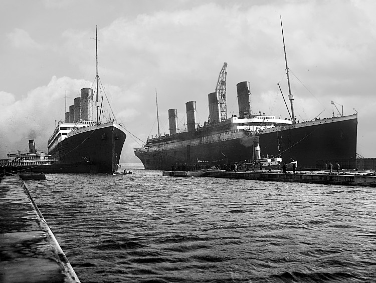
The story of the sinking of the RMS "Titanic" is well known. The largest passenger ship of its day, on its first voyage, collided in pitch darkness with an iceberg in the Atlantic Ocean and sank in just a few hours. Owing to the lack of lifeboats on board, and the winter temperatures of the ocean, over a thousand people lost their lives.
Less well known, is that this occurred on a well-travelled shipping route, and there were many other ships in the area. A large number of ships attempted to rescue the passengers of the "Titanic". The movements of these ships are of great interest, but are difficult to follow from written accounts. The purpose of this web page is to provide maps that make it easy to understand these ship movements.
Map 1 is actually a series of maps, showing the positions of the ships at 15-minute intervals, starting before the collision with the iceberg and ending almost a day later when all the rescue ships had left the scene. Use the buttons to move forwards and backwards through the series (the "exit" button brings you back to this page). Map 1 is extensively annotated with balloons, explaining each event as it occurred. Prominent in the centre of the map is the large ice-field that caused all the trouble. Lines of latitude and longitude are also marked.
Map 2 is the same as Map 1, except it covers a wider area and shows some of the ships that never reached the location of the Titanic. This map also has some annotations, but these only concern the outlying shipping, and so Map 1 is the best starting point..
There are a number of controversies concerning "mystery ships" that were seen in the area. The maps help to bring these into focus. In most cases, it would seem that the "mystery lights" seen by a particular ship during that dark night must have simply been the lights of another one of the known ships in the area. The maps make this assumption in their annotations.
The biggest controversy of all concerns the ship closest to the "Titanic" when she sank, the "Californian." The evening before the accident, when the "Californian" encountered the ice-field and stopped, she calculated her position as being at a location that was over the horizon from the site of the sinking. However, the next morning the "Californian" was close enough to the lifeboats of the "Titanic" to be seen. To explain this, the maps assume that the "Californian" was drifting slightly faster than the lifeboats, perhaps because the "Californian" was further into the ice-field where the current was stronger.
These different drift rates also explain the lights seen by the "Californian" and the "Titanic" after the latter had collided with the iceberg. In the time between the "Californian" stopping in the ice and the collision, the "Californian" had drifted close enough to the wreck site that the two ships could see each other's lights.